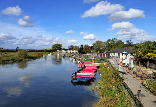
Walk Whiteways - Amberley 14Oct2026
Difficulty: Intermediate Type: Circular Length: 10.1 miles Ascent: 945 ft Descent: 830 ft Maximum: 730 ft Minimum: 4 ft Start: Start Finish: Finish Rest: Pub - The George & Dragon GPX: Download Route
Details let info=document.getElementById("info");let url_gpx=window.location.origin+"/action.php?id="+info.dataset.gpx+"&part=e&download";document.getElementById(`gpx`).href=url_gpx; Hi Chris,Weather on Wednesday looks to be set dry with sunny intervals and a moderate breeze.
This is a new walk and a new pub on a section of The South Downs Way we have not completed yet.
Its a walk of 8 miles out and 2 miles return over mostly country paths with a couple of long gentle climbs.
Tags: "South Downs Way, River Arun"
Rating: Intermediate
Map: OS Explorer OL10
I will pick you up @ 09:30
Start:
Whiteways Lodge Car Park (Free walker's car park)
BN18 9FD
https://www.ramblers.org.uk/go-walking/group-walks/whiteways-lodge
Head North West out of the car park into Houghton Forest along Monarch's Way for a couple of miles
to where we meet The South Downs Way. Here we turn East descending to The River Arun and then on to
Amberley and the pub for lunch.
After lunch its just a short walk returning West over the river Arun and on to the car park.
Lunch @ 13:30
The Bridge Inn
Houghton Bridge
Amberley
West Sussex
BN18 9LR
https://www.bridgeinnamberley.com
Notes: Pub shut Mondays & Tuesdays
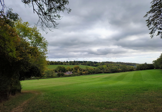
Walk Chesham - Asheridge 06Oct2026
Difficulty: Easy Type: Circular Length: 8.7 miles Ascent: 679 ft Descent: 712 ft Maximum: 574 ft Minimum: 328 ft Start: Start Finish: Finish Rest: Pub - The Blue Ball GPX: Download Route
Details let info=document.getElementById("info");let url_gpx=window.location.origin+"/action.php?id="+info.dataset.gpx+"&part=e&download";document.getElementById(`gpx`).href=url_gpx; Hi Chris,Weather on Tuesday looks to be set dry and warm with light clouds and light winds.
This is an old walk and pub that we did back in September 2018.
Its a walk of 5 miles out and 3 miles return over mostly country paths with a few small climbs.
Tags: "Chilterns, Chiltern Link"
Rating: Easy
Map: OS Explorer 181
Can you pick me up at 10:30 please?
Start:
Chesham Water Meadow car park
Watermeadow
Red Lion Street
Chesham
HP5 1LF
Cross the busy roads to pick up The Chiltern Link travelling West and then turning North East to Chartridge
and onto Asheridge for lunch at The Blue Ball pub.
Leave the pub North East to Wildmore Wood and travel along the ridge South East & South to Great Hivings.
Head South West & then South East to avoid the edge of Chartridge and rejoin The Chiltern Link
towards the car park.
Lunch @ 13:00
The Blue Ball
2 Blue Ball Cottage,
Asheridge
Chesham
HP5 2UX
https://www.facebook.com/theblueballasheridge
Notes: No booking system but ai says its open every day for lunch 12:00 - 14:30
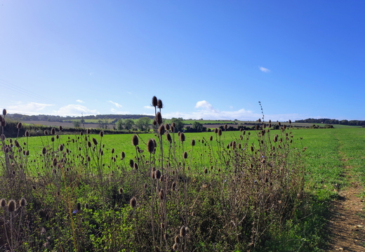
Walk Kilmeston - Cheriton 01Oct2026
Difficulty: Intermediate Type: Circular Length: 10.1 miles Ascent: 434 ft Descent: 459 ft Maximum: 562 ft Minimum: 223 ft Start: Start Finish: Finish Rest: Pub - The Milbury at Beauworth GPX: Download Route
Details let info=document.getElementById("info");let url_gpx=window.location.origin+"/action.php?id="+info.dataset.gpx+"&part=e&download";document.getElementById(`gpx`).href=url_gpx; Hi Chris,Weather on Thursday looks to be set dry and sunny with a gentle breeze.
This is a new walk and new pub in The South Downs just East of Winchester.
Its a walk of 7 miles out and 3 miles return over a mix of country paths and lanes
with just the one climb.
Tags: "South Downs Way"
Rating: Intermediate
Map: OS Explorer OL32
I'll pick you up at 09:15 if that's OK?
Start:
The layby situated directly opposite
Kilmeston Village Hall
Kilmeston Rd,
Kilmeston,
Alresford SO24 0NW
Head South West along Wayfarer's Walk climbing to The South Downs Way where we take a little detour East to Lomer Farm
just to fill in a gap of our walks of The South Downs Way. Now we return West and North West staying on
The South Downs Way until we reach Gander Down. Here we strike out North East along Honey Lane arriving at
Cheriton and the pub for lunch.
After lunch we head East and then South West through Hinton Apner returning to Kilmeston and the car.
Pub booked for 2 persons @ 13:30
The Flower Pots Inn & Brewery
Brandy Mount,
Cheriton,
Alresford,
Hampshire, SO24 0QQ
https://www.theflowerpots.co.uk
Notes:
Online booking may show no availability. However, staff keep a few tables free for small parties
of walk-ins. I managed to book for lunch over the phone.
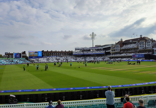
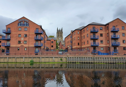
Walk Austhorpe - Leeds Market 25Sep2026
Difficulty: Easy Type: Linear One Way Length: 8.2 miles Ascent: 0 ft Descent: 251 ft Maximum: 318 ft Minimum: 56 ft Start: Start Finish: Finish Rest: None GPX: Download Route
Details let info=document.getElementById("info");let url_gpx=window.location.origin+"/action.php?id="+info.dataset.gpx+"&part=e&download";document.getElementById(`gpx`).href=url_gpx; Return via Bus 163 from outside Kirkgate Market car park.Alight @ Austhorpe Lane ... just before Paola's traffic light turning.
OR
Return via Bus 40 from outside Kirkgate Market car park.
Alight @ Junction of Green Lane with Station Road (Grren Lane Greenway).
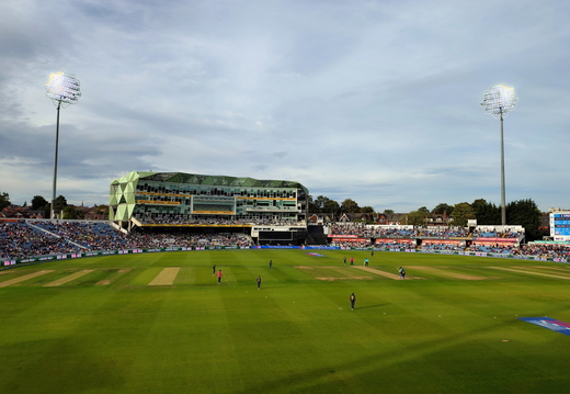
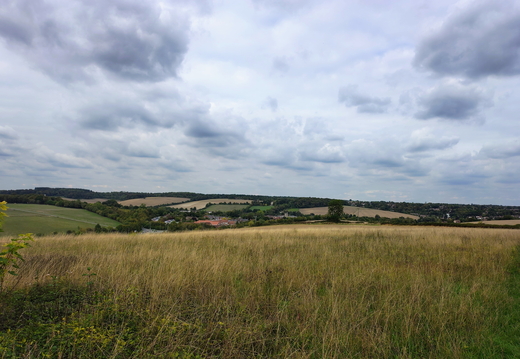
Walk Old Amersham - Forty Green 22Sep2026
Difficulty: Intermediate Type: Circular Length: 12.4 miles Ascent: 750 ft Descent: 852 ft Maximum: 564 ft Minimum: 301 ft Start: Start Finish: Finish Rest: Pub - The Royal Standard Of England GPX: Download Route
Details let info=document.getElementById("info");let url_gpx=window.location.origin+"/action.php?id="+info.dataset.gpx+"&part=e&download";document.getElementById(`gpx`).href=url_gpx; Hi Chris,Weather on Tuesday looks set dry and warm with light cloud and light winds.
This is an old walk and the pub is also an old favourite.
Its another long one of 7.5 miles out and 5 miles return over a mix of urban
streets, country lanes and paths with several short climbs.
Tags: "Chilterns, South Bucks Way"
Rating: Difficult
Map: OS Explorer 172
Pick me up at 09:45 Please
Start:
Park outside The Swan Inn
122 High St,
Amersham
HP7 0ED
Head West along the High Street crossing the A413 onto South Buck's Way turning onto Mop End Lane
where we quickly climb above the town and cross the A404 at Beamond End continuing South through Penn Wood
and descending South East into Forty Green & the pub for lunch.
After lunch we head North West initially through urban streets then our last climb of the day into Coleshill
and finally North to Amersham Old Town & the car.
Pub booked for 3 persons @ 13:15
The Royal Standard of England
Forty Green,
Beaconsfield HP9 1XT
http://www.rsoe.co.uk/
Notes:
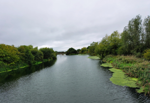
Walk Britwell - Holyport via M4 14Sep2026
Difficulty: Easy Type: Linear One Way Length: 7.1 miles Ascent: 0 ft Descent: 62 ft Maximum: 145 ft Minimum: 65 ft Start: Start Finish: Finish Rest: None GPX: Download Route
Details let info=document.getElementById("info");let url_gpx=window.location.origin+"/action.php?id="+info.dataset.gpx+"&part=e&download";document.getElementById(`gpx`).href=url_gpx;
Walk Old Winchester Hill - South Harting 01Sep2026
Difficulty: Difficult Type: Linear One Way Length: 14.1 miles Ascent: 1204 ft Descent: 1473 ft Maximum: 807 ft Minimum: 224 ft Start: Start Finish: Finish Rest: Pub - The White Hart GPX: Download Route
Details let info=document.getElementById("info");let url_gpx=window.location.origin+"/action.php?id="+info.dataset.gpx+"&part=e&download";document.getElementById(`gpx`).href=url_gpx;Weather Tuesday should be set dry with light cloud and a gentle breeze.
Outside chance of a light shower mid afternoon
This is a new walk and new pub covering a stretch of the South Downs Way.
The walk is a 14 mile linear walk along The South Downs Way - 10 miles to the pub.
Mostly rural paths with three climbs.
Return via taxi - Uber from The White Hart Pub, South Harting to Old Winchester Hill Car Park.
Tags: "South Downs Way"
Rating: Difficult
Map: OS Explorer OL3 OL8
Leave mine at 08:15
Make your way out of the car park back to Old Winchester Hill Lane and head North to the junction to pick up
The South Downs Way roughly East to Coombe Cross then South for our first climb over Salt Hill and then East
crossing the A3 through Queen Elizabeth Country Park to Buriton and the pub for lunch.
After lunch its a short steep climb Eastward to South Harting where we should be able to arrange a return
Uber from outside The White Hart pub.
Start:
Old Winchester Hill Car Park
Old Winchester Lane
Lunchtime Pub @ 13:15
The Five Bells
48 High Street
Buriton
Petersfield GU31 5RX
https://www.tripadvisor.co.uk/Restaurant_Review-g8815702-d3317532-Reviews-The_Five_Bells-Buriton_Petersfield_Hampshire_England.html
Notes:
Both pubs in Buriton were closed on Tuesday.
The White Hart @ South Harting was open and the ale was very good!
Walk Cricklade - Thames Head 26Aug2026
Difficulty: Intermediate Type: Linear One Way Length: 13.4 miles Ascent: 133 ft Descent: 0 ft Maximum: 386 ft Minimum: 259 ft Start: Start Finish: Finish Rest: Pub - The Wild Duck GPX: Download Route
Details let info=document.getElementById("info");let url_gpx=window.location.origin+"/action.php?id="+info.dataset.gpx+"&part=e&download";document.getElementById(`gpx`).href=url_gpx;Weather Monday should be set dry with sunny intervals and a gentle breeze.
This is a new walk and new pub completing the Westward extent of The Thames Path
from Cricklade to Thames Head.
The walk is a 13.5 mile linear walk along the Thames Path - 10 miles to the pub.
Mostly rural paths.
Return via taxi - Uber from The Thames Head Inn to Cricklade.
Rating: Intermediate
Map: OS Explorer 168 169
Leave mine at 8:15
Make your way out of the car park back to High Street and head North out of the village to pick up
The Thames Path Westward to the lakes at Cleveland Lakes Nature Reserve. We weave our way through
the many lakes to Somerford Keynes then strike out North to Ewen and the pub for lunch.
After lunch we return Westward to the Thames Path then North West to Thames Head - the official
source of The River Thames.
Now its just a short walk South across the rail line to The Thames Head Inn a convenient place
at the end of the day to grab a drink and order the Uber return to Cricklade.
Start:
High Street Car Park
Cricklade on Thames
SN6 6AE
Lunchtime Pub @ 13:15
The Wild Duck Inn
Drakes Island
Cirencester
GL7 6BY
https://www.countrycreatures.com/wild-duck-ewen/
Walk Lechlade - Cricklade 21Aug2026
Difficulty: Intermediate Type: Linear One Way Length: 11.2 miles Ascent: 0 ft Descent: 0 ft Maximum: 269 ft Minimum: 234 ft Start: Start Finish: Finish Rest: Pub - The Red Lion GPX: Download Route
Details let info=document.getElementById("info");let url_gpx=window.location.origin+"/action.php?id="+info.dataset.gpx+"&part=e&download";document.getElementById(`gpx`).href=url_gpx;Weather Friday should have sunny intervals with a gentle breeze.
This is a new walk and new pub extending the Thames Path from Lechlade to Cricklade
The walk is a 11.25 mile linear walk along the Thame Path - 7 miles to the pub.
Mix of rural paths, country lanes and village roads.
Return via taxi - Uber from The Red Lion Cricklade.
Rating: Intermediate
Map: OS Explorer 169 170
Leave mine at 9:15
Make your way out of the car park back to Oak Street and follow the road South to the Thames Bridge.
Cross the bridge and pick up The Thames Path West following the Thames to Castle Eaton and the pub for lunch.
After lunch we continue West to Cricklade & The Red Lion at the North of the village.
The Thames Path leaves the river from time to time but meets up again.
Start:
Oak Street Car Park
Memorial Hall Pavilion
SU2199
Lechlade on Thames
Lunchtime Pub @ 13:15
The Red Lion
Castle Eaton
SN6 6JZ
https://www.theredlioncastleeaton.co.uk
Walk Buckland Wharf - Weston Turville 12Aug2026
Difficulty: Intermediate Type: Circular Length: 9.5 miles Ascent: 722 ft Descent: 815 ft Maximum: 872 ft Minimum: 319 ft Start: Start Finish: Finish Rest: Pub - The George And Dragon GPX: Download Route
Details let info=document.getElementById("info");let url_gpx=window.location.origin+"/action.php?id="+info.dataset.gpx+"&part=e&download";document.getElementById(`gpx`).href=url_gpx; Weather Wednesday will be dry, hot and sunny with light winds.This is a walk that we did a good part of in October 2018 ... but its a new pub.
A walk of 7 miles out and 2.5 miles return over a mix of country paths, lanes and some urban streets.
Just a couple of climbs early on and then downhill and flat the rest of the day
About 60% should be in shade.
Difficulty: Intermediate
Map: OS Explorer 181
Start:
Stablebridge Road car park ... very tight entrance before the bridge
Near Green Park Activity Centre
HP22 5NE
Pick me up at 10:00 please.
Follow the road South from the car park climbing slowly towards the golf course where we slip into the Wendover Woods.
We now turn West and leave the woods into the streets of Wendover before striking North West across The Grand Union Canal
towards Weston Turville and the pub for lunch.
After lunch its South East returning to the canal which we follow North West returning to the car.
Pub for lunch @ 13:15 - booked for 3 people.
The Five Bells
40 Main Street,
Weston Turville
HP22 5RW
https://www.vintageinn.co.uk/restaurants/south-east/thefivebellswestonturville#/
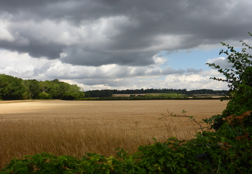
Walk Pinkneys Green - Thames 05Aug2026
Difficulty: Easy Type: Circular Length: 7.5 miles Ascent: 535 ft Descent: 466 ft Maximum: 351 ft Minimum: 87 ft Start: Start Finish: Finish Rest: Pub - Uncle Tom's Cabin GPX: Download Route
Details let info=document.getElementById("info");let url_gpx=window.location.origin+"/action.php?id="+info.dataset.gpx+"&part=e&download";document.getElementById(`gpx`).href=url_gpx;Weather Wednesday is set dry, warm with sunny intervals and a moderate breeze.
There's an outside chance of a shower before lunch.
This is a walk and pub we last did in June 2018.
The walk is a 7.5 mile circular walk with one small climb - 4.5 miles to the pub.
Mix of rural paths, country lanes and village roads.
About a half of the walk is in woodland.
Rating: Easy
Map: OS Explorer 172
Meet: Car Park at 11:00
Start:
Pinkneys Green car park
Corner of Pinkneys Green cricket Ground
Pinkneys Drive
SL6 6QD
Leave Pinkneys Green car park travelling North up The Chiltern Way to
Cookham Dean Commons. Strike out West to the welcome cover of Park Wood where we head
North & North East along the Cookham Bridleway descending the escarpment and eventually
picking up The Thames for a short way before hiking back up the escarpment South to the pub for lunch.
After lunch we head South along Spring Lane and return to the Bridleway turning West to
Pinkneys Green and the car.
Lunchtime Pub booked for 3 people @ 13:00
Uncle Tom's Cabin
Hills Ln,
Cookham,
Maidenhead
SL6 9NT
https://www.uncletomscabin.co.uk
Halloumi is on the menu with Chilli relish to provide a modicum of taste:{
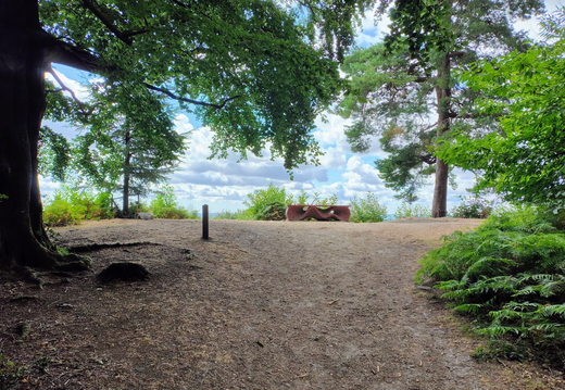
Walk Peaslake - Gomshall 30Jul2026
Difficulty: Challenging Type: Circular Length: 10.6 miles Ascent: 2035 ft Descent: 1897 ft Maximum: 1004 ft Minimum: 280 ft Start: Start Finish: Finish Rest: Pub - The Gomshall Mill GPX: Download Route
Details let info=document.getElementById("info");let url_gpx=window.location.origin+"/action.php?id="+info.dataset.gpx+"&part=e&download";document.getElementById(`gpx`).href=url_gpx; Hi ChrisWeather on Thursday is set to be dry and warm with sunny intervals and a gentle breeze.
This is a walk we did back in July 2024.
8 miles out and 2.5 miles return along mostly country paths and urban lanes with
two short steep climbs before lunch.
Class: Challenging
Map: OS Explorer 145
I'll pick you up about 09:30
Start Hurtwood Car Park 2 near Peaslake.
We climb up out of the car park South onto the ridge leading us to Pitch Hill. Here we head West and descend
through the valley and up the other side undulating past Reynards Hill & Winterford Hill.
Now turn North skirting Fairly Green and then North East to Gomshall & the pub for lunch.
After lunch we head South back to Peaslake & the car.
Pub booked for lunch for 2 people @ 13:30
The Gomshall Mill
Station Rd, Gomshall,
Guildford GU5 9LB
https://gomshallmill.co.uk/
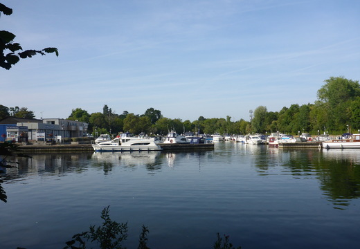
Walk Taplow - Dorney 23Jul2026
Difficulty: Easy Type: Circular Length: 8.2 miles Ascent: 911 ft Descent: 1109 ft Maximum: 415 ft Minimum: 61 ft Start: Start Finish: Finish Rest: None GPX: Download Route
Details let info=document.getElementById("info");let url_gpx=window.location.origin+"/action.php?id="+info.dataset.gpx+"&part=e&download";document.getElementById(`gpx`).href=url_gpx;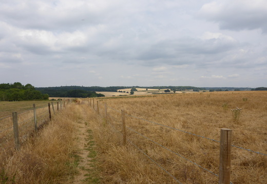
Walk Chalfont St Giles - Seer Green 21Jul2026
Difficulty: Challenging Type: Circular Length: 9.4 miles Ascent: 2015 ft Descent: 1986 ft Maximum: 677 ft Minimum: 343 ft Start: Start Finish: Finish Rest: Pub - The Three Horseshoes - Seer Green GPX: Download Route
Details let info=document.getElementById("info");let url_gpx=window.location.origin+"/action.php?id="+info.dataset.gpx+"&part=e&download";document.getElementById(`gpx`).href=url_gpx; Hi Chris,Weather Wednesday looks to be set dry and warm with light cloud and a gentle breeze.
This is one of Lia's walks we last did in May 2023.
This is a walk of 9.5 miles. 6 miles out and 3.5 return over mostly country paths and lanes.
A few climbs in the morning and mostly flat after lunch.
Map: OS Explorer 172
Start:
Street parking in Up Corner Close, Chalfont St Giles, HP8 4PU.
Near Fox & Hounds
Can you pick me up @ 10:00 please
We leave the car heading uphill Northwards towards Rushcroft Wood where we begin climbing South West
to Hodgemoor Wood. The ground levels out as we trek North of West crossing The Amersham Road then heading South
towards Brown's Wood. Now we recross The Amersham Road East towards Seer Green and the pub for lunch.
After lunch we continue East for a couple of miles before heading North returning to Chalfont St Giles and the car.
Pub booked for lunch for 2 persons @ 13:15
The Three Horseshoes
22 Orchard Road,
Seer Green,
Bucks HP9 2XX
https://thethreehorseshoesseergreen.co.uk
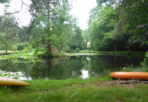
Walk Leith Hill - Holmwood 01Jul2026
Difficulty: Challenging Type: Circular Length: 9.5 miles Ascent: 2803 ft Descent: 2774 ft Maximum: 1128 ft Minimum: 400 ft Start: Start Finish: Finish Rest: Pub - The Plough Inn GPX: Download Route
Details let info=document.getElementById("info");let url_gpx=window.location.origin+"/action.php?id="+info.dataset.gpx+"&part=e&download";document.getElementById(`gpx`).href=url_gpx;Hi Chris
Weather Wednesday looks to be set dry with sunny intervals and a gentle breeze and highs of 25C.
This is a return to the Surrey Hills - this time to Leith Hill, Surrey's highest point (294m), with excellent views.
This is a walk we last did in Dec2022
Walk is 9 miles circular, mostly country paths and lanes with ups & downs.
5.5 miles out, 3.5 return.
Class:
Map: OS Explorer 146
Start:
NT Holmwood Common Car Park
RH5 4NX
TQ 170470
Head South West from North Holmwood, crossing the A24 through hills & vales for about 3.5 miles.
Now turn South East and up on to Leigh Hill & the tower. Leaving the tower, we head North East
picking up various view points on our way down to Coldharbour and the pub for lunch.
Repleat, we continue North East, recrossing the A24, to South Holmwood where we turn North West
climbing to yet another view point on Holmwood Common before returning North to the car.
I'll pick you up at 10:00 if thats OK?
Pub Booked for 2 persons for lunch at 13:15
The Plough Inn
Abinger Rd,
Coldharbour,
Dorking
RH5 6HD
https://ploughinn.com/
(Do not confuse this pub with The Plough @ Leigh 5 miles to the East !)
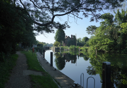
Walk Lake End - Dorney 24Jun2026
Difficulty: Easy Type: Circular Length: 8.4 miles Ascent: 0 ft Descent: 0 ft Maximum: 81 ft Minimum: 64 ft Start: Start Finish: Finish Rest: None GPX: Download Route
Details let info=document.getElementById("info");let url_gpx=window.location.origin+"/action.php?id="+info.dataset.gpx+"&part=e&download";document.getElementById(`gpx`).href=url_gpx;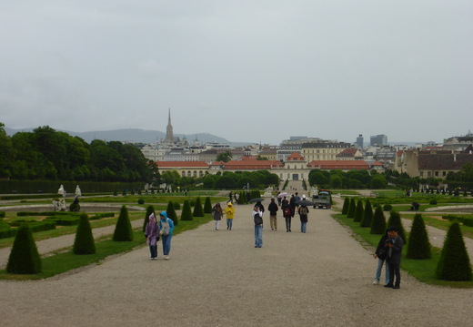
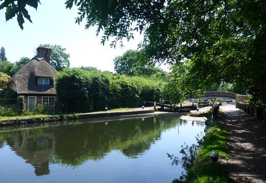
Walk Six Woods Walk Denham 27May2026
Difficulty: Intermediate Type: Circular Length: 10.5 miles Ascent: 684 ft Descent: 647 ft Maximum: 329 ft Minimum: 128 ft Start: Start Finish: Finish Rest: Pub - The Woodman GPX: Download Route
Details let info=document.getElementById("info");let url_gpx=window.location.origin+"/action.php?id="+info.dataset.gpx+"&part=e&download";document.getElementById(`gpx`).href=url_gpx; Hi Chris,The Weather on Wednesday is set sunny and hot with light winds.
This is a published trail we have done once before back in September 2023.
"This trail features the countryside in the northwestern corner of Middlesex, plus trails through charming woods.
The route is interesting, with great views and various scenery, from meadows, hills, fields, and lovely parks to many woodland paths.
There is an abundance of wildfire in the area, so keep your eyes out!"
6.5 miles out and 4.0 return over mostly country paths with a few small hills.
We are parking at
Woodcock Hill Car Park
(Behind Rose & Crown Pub)
Harefield Road,
Rickmansworth,
WD3 1PP
The walk is mostly shaded with a stretch of open country in the morning.
Please can you pick me up at 10:00
We leave the car park heading North then pick up a South Westerly path past Hill End turning West to
West Harefield and the River Colne. We follow the river for a short while South then leave it heading South East
through several woods to the north of Ruislip and the pub for lunch.
After lunch we strike out North East past the Lido and into yet more woodland for a short hop.
Now we are in baking hot open country for the last 2 miles North West returning to Woodcock Hill and the car.
Bring water!
Pub for lunch booked for 3 persons @ 13:15
The Woodman
Breakspear Road,
Ruislip,
Middlesex.
HA4 7SE
https://www.thewoodmanruislip.com
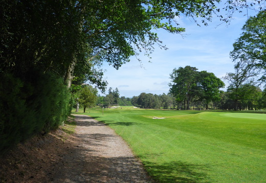
Walk Liss Forest - Liphook 21May2026
Difficulty: Intermediate Type: Circular Length: 9.6 miles Ascent: 448 ft Descent: 439 ft Maximum: 507 ft Minimum: 232 ft Start: Start Finish: Finish Rest: Pub - The Deers Hut GPX: Download Route
Details let info=document.getElementById("info");let url_gpx=window.location.origin+"/action.php?id="+info.dataset.gpx+"&part=e&download";document.getElementById(`gpx`).href=url_gpx; Weather Thursday looks to be set dry with sunny intervals and a gentle breeze from the South.This is a new walk with a new pub.
5.5 miles out and 4.5 return over a mix of country paths and lanes.
There's a short climb after lunch so maybe lay off the pies!
Another M.O.D. managed area which we enter on our return path.
M.O.D. no longer publishes firing times on the web ... they advise checking
local signs or perhaps the sound of bullets flying past your ears!
If red flags flying we have an alternative slightly shorter return route.
Fly through video:
https://gallery.vontek.im/picture.php?/8102/category/385#&gid=1&pid=1
Class: Intermediate
Map: OS Explorer OL33
I'll pick you up around 09:45
Start:
Forest Road Car Park (Longmoor Ranges car park)
Liss Forest
GU33 7RA
Leave the car park to the South East then cut into the MOD area for a short while before following the boundary path East
for a couple of miles turning South onto Shipwright's Way to Langley then North East onto the Sussex Border Path past
Folly Pond. At Wheatsheaf Common we turn North & North West onto Liphook and the pub for lunch.
After lunch we head South West climbing to Weaver's Down where we re-enter The MOD traveling West returning to the car.
If red flags we miss out Weaver's Down and continue South West returning via the path we left in the morning.
Pub for lunch @ 13:15
The Deers Hut
Griggs Green Longmoor Road
Liphook Hampshire GU30 7PD
https://thedeershutpub.co.uk
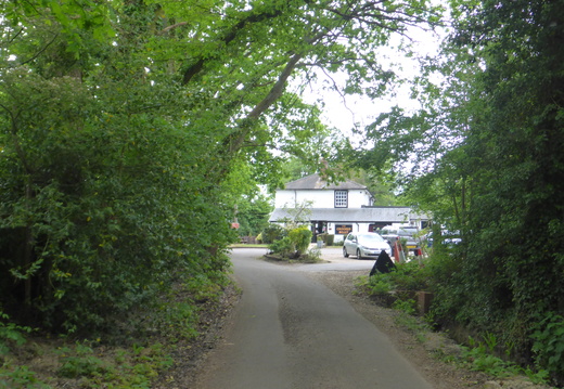
Walk Armbarrow Court - Heath Lake 12May2026
Difficulty: Intermediate Type: Circular Length: 10.5 miles Ascent: 186 ft Descent: 134 ft Maximum: 331 ft Minimum: 163 ft Start: Start Finish: Finish Rest: Pub - The Crokked Billet GPX: Download Route
Details let info=document.getElementById("info");let url_gpx=window.location.origin+"/action.php?id="+info.dataset.gpx+"&part=e&download";document.getElementById(`gpx`).href=url_gpx; Hello Chris,The weather Tuesday should have sunny intervals in the morning with a gentle breeze.
Darkening in the afternoon with a remote chance of a shower.
This is a walk we have done parts of before and a pub we last visited in 2019.
A walk of 6 mile out and 3 return over a mix of country paths, lanes and urban streets.
Just a couple of small hills to negotiate.
Fly through video:
https://gallery.vontek.im/picture.php?/8092/category/384
Class: Intermediate
Map: OS Explorer 159
I'll pick you up about 10:15 if thats Ok?
Start:
Ambarrow Court car park
Wokingham Road
GU47 8JB
Leave the car park heading West climbing up Beech Hill then tracking North West & North to the southern
outskirts of Wokingham. Here we turn South towards Gardners Green and the pub for lunch.
After lunch we continue South past Wellington and a gentle rise returning to the car park.
Pub: Lunch confirmed for 2 persons at 13:15
The Crooked Billet
Honey Hill,
Wokingham RG40 3BJ
https://www.crookedbilletwokingham.co.uk
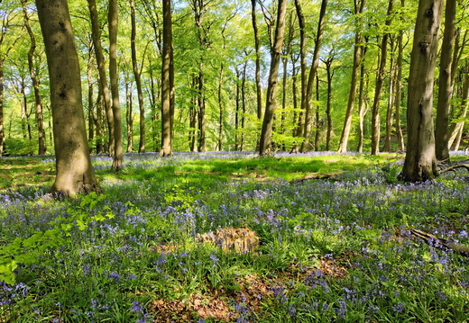
Walk Beacon Hill - Chinnor 29Apr2026
Difficulty: Easy Type: Circular Length: 8.8 miles Ascent: 559 ft Descent: 614 ft Maximum: 836 ft Minimum: 380 ft Start: Start Finish: Finish Rest: Pub - The Wheatsheaf GPX: Download Route
Details let info=document.getElementById("info");let url_gpx=window.location.origin+"/action.php?id="+info.dataset.gpx+"&part=e&download";document.getElementById(`gpx`).href=url_gpx; Weather Wednesday should be warm, dry and sunny with a moderate breeze.This is a new walk & pub.
5 miles out and 4 return over a mix of urban streets and country paths.
One steep descent a climb at the end of the day!.
A short drive so please pick me up at 10:30.
Class: Easy
Map: OS Explorer 171
Start: Aston Rowant National Nature Reserve car park (NT Members park free)
***** WAZE lookup "Chiltern Nature - Aston Rowant Nature Reserve"
Off Christmas Common Road
Oxforshire
HP14 3YL
SU 731 966
Leave the car park by the entrance and head North East along the ridge towards Sprigg's Alley where we turn
North West and steeply descend into Chinnor Quarry. We cross through the quarry and walk into Chinnor and the pub for lunch.
After lunch its South and South West along the base of the escarpment rounding it just before the M40 where we climb steeply
returning to the top of the ridge and the car.
Pub booked for lunch for 2 persons @ 13:15
The Wheatsheaf Pub,
Oakley Road,
Chinnor,
Oxfordshire, OX39 4HX
https://www.safood.co.uk
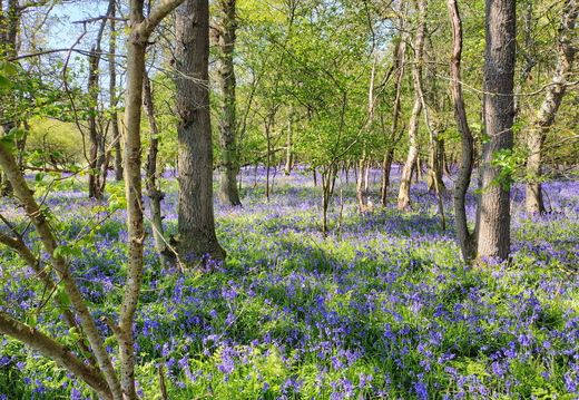
Walk Farnham Common - Hedgerley 22Apr2026
Difficulty: Easy Type: Circular Length: 7.9 miles Ascent: 277 ft Descent: 326 ft Maximum: 309 ft Minimum: 174 ft Start: Start Finish: Finish Rest: Pub - The White Horse GPX: Download Route
Details let info=document.getElementById("info");let url_gpx=window.location.origin+"/action.php?id="+info.dataset.gpx+"&part=e&download";document.getElementById(`gpx`).href=url_gpx; Hi Chris,Tomorrow the weather is set dry, fine and sunny with a moderate breeze.
This is mostly an old walk and the pub is an old friend we haven't visited for a while.
4.5 miles out and 3.5 miles return over lanes and country paths with just a couple of small hills.
Can you pick me up at 10:30 please?
Class: Easy
Map: OS Explorer 172
Start:
Green Lane
The street behind the shops in Farnham Common.
Leave the car park heading North then West through Burnham Beeches along Lord Mayor's Drive & Halse Drive.
We cut North through the beeches to Abbey Park Farm then eastwards towards Hedgerley and the pub for lunch.
After lunch its South to Richman's Hill where we strike West returning to Farnham Common and the car.
Pub for lunch at 13:00
The White Horse
Village Lane,
Hedgerley
Slough SL23UY
https://www.facebook.com/whitehorsehedgerley/?locale=en_GB
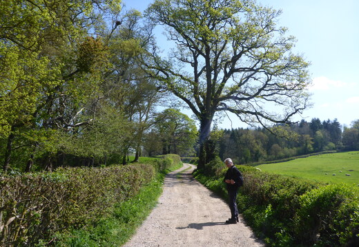
Walk Farnham Common - Hedgerley 22Apr2026
Difficulty: Easy Type: Circular Length: 7.9 miles Ascent: 277 ft Descent: 326 ft Maximum: 309 ft Minimum: 174 ft Start: Start Finish: Finish Rest: Pub - The White Horse GPX: Download Route
Details let info=document.getElementById("info");let url_gpx=window.location.origin+"/action.php?id="+info.dataset.gpx+"&part=e&download";document.getElementById(`gpx`).href=url_gpx; Tomorrow the weather is set dry, fine, sunny with a moderate breeze.This is mostly an old walk and the pub an old friend we haven't visited for a while.
4.5 miles out and 3.5 mile return over lanes and country paths.
Can you pick me up at 10:30 please?
Class: Easy
Map: OS Explorer 172
Start:
Green Lane
The street behind the shops in Farnham Common.
Leave the car park heading North then West through Burnham Beeches along Lord Mayor's Drive & Halse Drive.
We cut North through the beeches to Abbey Park Farm then eastwards towards Hedgerley and the pub for lunch.
After lunch its South to Richman's Hill where we strike West returning to Farnham Common and the car.
Pub for lunch at 13:00
The White Horse
Village Lane,
Hedgerley
Slough SL23UY
https://www.facebook.com/whitehorsehedgerley/?locale=en_GB
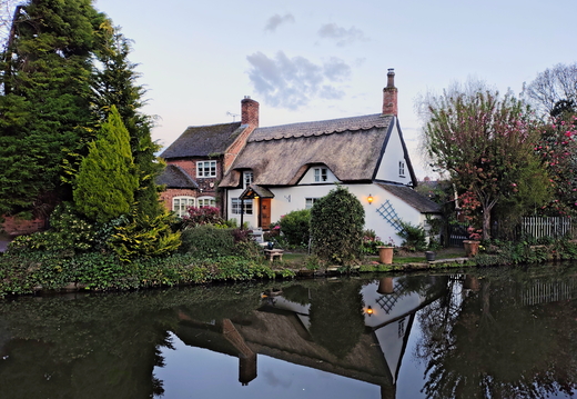
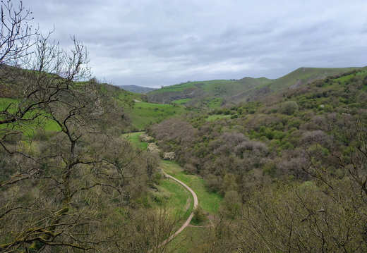
Walk Wetton - Ecton 17Apr2026
Difficulty: Intermediate Type: Circular Length: 7.0 miles Ascent: 1018 ft Descent: 1147 ft Maximum: 1204 ft Minimum: 578 ft Start: Start Finish: Finish Rest: Pub - Ye Olde Royal Oak GPX: Download Route
Details let info=document.getElementById("info");let url_gpx=window.location.origin+"/action.php?id="+info.dataset.gpx+"&part=e&download";document.getElementById(`gpx`).href=url_gpx;This is a new walk with a new pub at the end of the walk ... so ony one pint for the driver!
There's a short climb and two longer climbs with a nice long flat bit inbetween.
Fly through video:
https://gallery.vontek.im/picture.php?/7916/category/378
Class: Intermediate
Map: OS Explorer OL24
Start:
Wetton car park
Carr Lane
Wetton DE6 2AF
Leave the car park heading North West turning North East onto School Lane.
We leave School Lane Northward climbing to Wetton Hill (West) and then Ecton Hill
before descending West into Ecton where we pick up the River Manifold. The river winds South
past Nan Tor Cave and Thor's Cave where we turn North West towards Wetton and the car.
If time allows we can visit the pub at the end of the walk.
Pub:
Ye Olde Royal Oak
Wetton
Ashbourne
DE6 2AF
https://www.royaloakwetton.co.uk
POI:
Ecton Hill
Ecton Hill, located in the Staffordshire Peak District, boasts over 3,500 years of mining history,
starting in the Bronze Age and continuing until 1891. It was historically significant for producing
high-grade copper, with its peak in the 18th century funding the Duke of Devonshire’s Buxton Crescent,
before being abandoned after becoming unprofitable.
POI: Thor's Cave
Thor's Cave (also known as Thor's House Cavern and Thyrsis's Cave) is a natural cavern located at SK09865496 in the Manifold Valley of the White Peak in Staffordshire, England. It is classified as a karst cave. Located in a steep limestone crag, the cave entrance, a symmetrical arch 7.5 metres wide and 10 metres high, is prominently visible from the valley bottom, around 80 metres (260 feet) below. Reached by an easy stepped path from the Manifold Way, the cave is a popular tourist spot, with views over the Manifold Valley. The second entrance is known as the "West Window", below which is a second cave, Thor's Fissure Cavern
Walk Taplow - Dorney 09Apr2026
Difficulty: Easy Type: Circular Length: 8.2 miles Ascent: 911 ft Descent: 1109 ft Maximum: 415 ft Minimum: 61 ft Start: Start Finish: Finish Rest: None GPX: Download Route
Details let info=document.getElementById("info");let url_gpx=window.location.origin+"/action.php?id="+info.dataset.gpx+"&part=e&download";document.getElementById(`gpx`).href=url_gpx;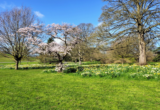
Walk Austhrpe - Leeds Market 02Apr2026
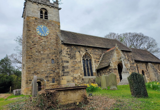
Difficulty: Intermediate Type: Circular Length: 9.0 miles Ascent: 757 ft Descent: 975 ft Maximum: 503 ft Minimum: 173 ft Start: Start Finish: Finish Rest: None GPX: Download Route
Details let info=document.getElementById("info");let url_gpx=window.location.origin+"/action.php?id="+info.dataset.gpx+"&part=e&download";document.getElementById(`gpx`).href=url_gpx; Return via Bus 163 from outside Kirkgate Market car park.Alight @ Austhorpe Lane ... just before Paola's traffic light turning.
Walk Fairburn - Ledsham via Ledston 01Apr2026
Difficulty: Easy Type: Circular Length: 7.9 miles Ascent: 390 ft Descent: 427 ft Maximum: 338 ft Minimum: 175 ft Start: Start Finish: Finish Rest: None GPX: Download Route
Details let info=document.getElementById("info");let url_gpx=window.location.origin+"/action.php?id="+info.dataset.gpx+"&part=e&download";document.getElementById(`gpx`).href=url_gpx;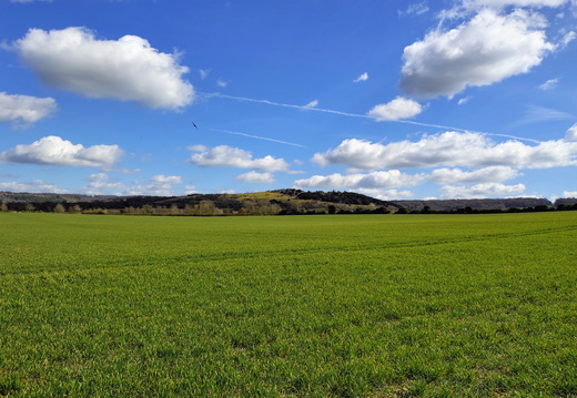
Walk Watlington - Christmas Common 26Mar2026
Difficulty: Easy Type: Circular Length: 7.8 miles Ascent: 813 ft Descent: 742 ft Maximum: 790 ft Minimum: 351 ft Start: Start Finish: Finish Rest: Pub - The Fox & Hounds GPX: Download Route
Details let info=document.getElementById("info");let url_gpx=window.location.origin+"/action.php?id="+info.dataset.gpx+"&part=e&download";document.getElementById(`gpx`).href=url_gpx; Weather Thursday should be dry with sunny intervals but cool and breezy.This is Lia's walk that is a shortened version of one we did in Feb 2023.
6 miles out and 2 return over a mix of roads, country lanes and paths.
Two climbs on the route.
https://gallery.vontek.im/index.php?/category/95
Class: Easy ( for the able bodied :} )
A short drive so please pick me up at 10:30.
Map: OS Explorer 171
Start: Hill Road Car Park
Watlington
OX49 5AD
***** THIS IS NOT THE WATLINGTON HILL NT CAR PARK FURTHER UP THE ROAD *****
Head South West from the car park down Spring Lane then South East and South West once again taking us out of Town.
Two miles out we begin our first climb to Greenfield then down South and East through Greenfield Wood turning
North West onto Hollandridge Lane. Now its our last climb to Christmas Common and the pub for lunch.
After lunch its a gentle track across the top of Watlington Hill and a final descent West back to Watlington and the car.
They are busy but I've booked lunch for 2 persons @ 13:15 in the bar area.
Can get busy so good advice to book ahead
The Fox & Hounds
Christmas Common
Watlington
Oxfordshire
OX49 5HL
Tel: 01491 612599
https://www.foxandhoundschristmascommon.com/
The White Mark of Watlington Hill
---------------------------------
Squire Edward Horne's folly
Edward Horne was the local squire who owned the manor of Watlington in the year 1764. According to the story, Horne was disappointed that the parish church of St. Leonard lacked a spire.
Rather than paying for one to be built on top of the existing tower, Horn instead paid for a spire-shaped chalk carving to be cut into the hill in the background. When viewed from a certain angle, this gave the illusion that the church tower has a white spire on the top!
Some versions of the story state that the chalk carving was placed in such a way that the carving and church lined up with Horne's own house, so that the optical illusion would be visible from his window but I've not been able to identify the location of Horne's house in Watlington. In fact, his home address is usually stated as Greenfields, up on the Chiltern hills above Watlington.
Sadly, trees have now grown up around the church, blocking the ability to view the church/chalk carving illusion as Edward Horne intended. However, the hill on which the chalk carving stands is owned by the National Trust, preserving the white mark for posterity and making the land around it open for all to enjoy.
Walk Cowleaze Wood - Ibstone 18Mar2026
Difficulty: Challenging Type: Circular Length: 9.4 miles Ascent: 972 ft Descent: 1061 ft Maximum: 833 ft Minimum: 401 ft Start: Start Finish: Finish Rest: Pub - The Fox Inn GPX: Download Route
Details let info=document.getElementById("info");let url_gpx=window.location.origin+"/action.php?id="+info.dataset.gpx+"&part=e&download";document.getElementById(`gpx`).href=url_gpx; Hello Chris,Weather Wednesday looks to be set sunny and warm with a gentle breeze.
I've always wanted to walk the escarpment edge of The Chilterns that we see from the M40.
This is a nearby new walk & new pub of 7 miles out and 2.5 return over a mix of country
paths and lanes. Three short steep climbs - well we are in The Chilterns!
class: Challenging
Leave mine at 9:45 please?
Map: OS Explorer 171
Start Cowleaze Wood car park
Just off Christmas Common Road
(probably turn left if coming from Lewknor)
OX49 5HL
Head North East out of the car park then quickly turn North West descending sharply through Ashton Nature Reserve.
Turn South West along The Icknield Way to the outskirts of Watlington where we track South East climbing to Christmas Common.
East along the ridge then down the other side before our second sharp climb to Ibstone and the pub for lunch.
After lunch its back down the climb we just came up and follow the valley bottom North before our third and final
climb of the day West returning to the car.
Pub Booked for lunch for 2 persons @ 13:15
The Fox @ Ibstone
Ibstone Rd,
Ibstone,
High Wycombe,
HP14 3XT
https://thefoxatibstone.co.uk
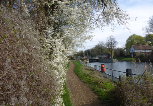
Walk Lake End - Eton Wick 10Mar2026
Difficulty: Easy Type: Circular Length: 8.8 miles Ascent: 0 ft Descent: 0 ft Maximum: 89 ft Minimum: 61 ft Start: Start Finish: Finish Rest: None GPX: Download Route
Details let info=document.getElementById("info");let url_gpx=window.location.origin+"/action.php?id="+info.dataset.gpx+"&part=e&download";document.getElementById(`gpx`).href=url_gpx;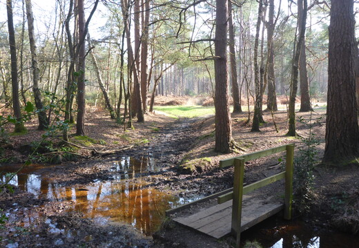
Walk Normandy - Pirbright 04Mar2026
Difficulty: Intermediate Type: Circular Length: 10.7 miles Ascent: 437 ft Descent: 467 ft Maximum: 387 ft Minimum: 113 ft Start: Start Finish: Finish Rest: Pub - The Royal Oak GPX: Download Route
Details let info=document.getElementById("info");let url_gpx=window.location.origin+"/action.php?id="+info.dataset.gpx+"&part=e&download";document.getElementById(`gpx`).href=url_gpx; Hello Chris,Weather Wednesday looks to be set dry with sunny intervals and light winds.
There is no flood risk but this is an MOD area ... so a risk of friendly fire perhaps.
This is a brand new walk and pub 6 miles out and 3 return over a mix of
country paths and lanes. One short climb in the first hour then easy going the rest of the day.
I'll pick you up early at 10:00 if that's OK please?
Map: OS Explorer 145
Start Hunts Hill Road car park
Normandy Common
GU3 2DB (near)
UNFORTUNATELY LIVE FIRING WAS IN OPERATION AND THE DANGER ZONE CLOSED TO THE PUBLIC
So we just circumnavigated the Ash, Stoney Castle and Henley Park Ranges to No. 1 Range then cut across
through woodland South East to the pub. This made the full walk close to 11 miles.
SKIPPED
At the West end of the car park we take the path North then North West through the park
into the danger zone and Fox Hills where we turn North towards Tunnel Hill.
Now its East and South East to Henleypark Lake and follow the course of Stanford Brook
North East to the pub for lunch.
SKIPPED
After lunch its South East through woodland to Cobbett Hill where we track South West
returning to Normandy and the car.
Pub Booked for lunch for 2 persons @ 13:15
The Royal Oak
Aldershot Road
Pirbright
Woking
Surrey
GU24 0DQ
https://www.greeneking.co.uk/pubs/surrey/royal-oak
Sorry its a Greene King Pub :/
Walk Uffington - Ashbury 25Feb2026
Difficulty: Intermediate Type: Circular Length: 11.1 miles Ascent: 583 ft Descent: 675 ft Maximum: 852 ft Minimum: 270 ft Start: Start Finish: Finish Rest: Pub - The Rose & Crown Inn GPX: Download Route
Details let info=document.getElementById("info");let url_gpx=window.location.origin+"/action.php?id="+info.dataset.gpx+"&part=e&download";document.getElementById(`gpx`).href=url_gpx; Hello Chris,Weather Wednesday looks to be set sunny and warm with light winds.
This is a brand new walk and pub 6.5 miles out and 4.5 return over a mix of
country paths and lanes. One decent climb in the first hour then easy going the rest of the day.
Although some flooding around, the gov. web site shows this route looks to be OK.
I'll pick you up early at 09:30 if that's OK please?
Map: OS Explorer 170
Start Thomas Hughes Memorial Hall car park
Behind the post office
Broad Street
Uffington
Oxfordshire, SN7 7SE
Leave the car park heading West past the Memorial Hall and South onto High Street.
Now we quickly leave town and start the climb through Uffington Wood to The Ridgeway.
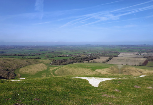
The path tracks West here meandering past a couple of visitor sites:
The Uffington White Horse
Uffington Castle hillfort
We return to The Ridgeway and after a short visit to Wayland's Smithy Long Barrow we leave The Ridgeway
Westwards to Ashbury and the pub for lunch.
After lunch its North East to Woolstone then North and East to Uffington and the car.
Pub Booked for lunch at 13:15
The Rose & Crown Inn
3 High Street,
Ashbury,
Oxfordshire SN6 8NA
https://roseandcrownatashbury.co.uk/home
Info:
=====
Uffington Castle is an early Iron Age (with underlying Bronze Age) univallate hillfort in Oxfordshire, England. It covers about 3.2 ha (7.9 acres) and is surrounded by two earth banks separated by a ditch with an entrance in the western end. A second entrance in the eastern end was apparently blocked up a few centuries after it was built.
The original defensive ditch was V-shaped with a small box rampart in front and a larger one behind it. Timber posts stood on the ramparts. Later the ditch was deepened and the extra material dumped on top of the ramparts to increase their size. A parapet wall of sarsen stones lined the top of the innermost rampart. It is very close to the Uffington White Horse on White Horse Hill.
=====
The Uffington White Horse is a prehistoric hill figure, 110 m (360 ft) long, formed from deep trenches filled with crushed white chalk. The figure is situated on the upper slopes of White Horse Hill in the English civil parish of Uffington (in the ceremonial county of Oxfordshire and historic county of Berkshire), some 16 km (10 mi) east of Swindon, 8 km (5.0 mi) south of the town of Faringdon and a similar distance west of the town of Wantage; or 2.5 km (1.6 mi) south of Uffington. The hill forms a part of the scarp of the Berkshire Downs and overlooks the Vale of White Horse to the north. The best views of the figure are obtained from the air, or from directly across the Vale, particularly around the villages of Great Coxwell, Longcot and Fernham.
The Uffington White Horse was created some time between 1380 and 550 BC, during the late Bronze Age or early Iron Age. The site is owned and managed by the National Trust and is a scheduled monument. The Guardian stated in 2003 that "for more than 3,000 years, the Uffington White Horse has been jealously guarded as a masterpiece of minimalist art." The Uffington Horse is by far the oldest of the white horse figures in Britain and is of an entirely different design from the others inspired by it.
=====
Wayland's Smithy is an Early Neolithic chambered long barrow located near the village of Ashbury in the south-central English county of Oxfordshire. The barrow is believed to have been completed around 3430 BCE by pastoral communities shortly after the introduction of agriculture to the British Isles from continental Europe. Although part of an architectural tradition of long barrow building that was widespread across Neolithic Europe, Wayland's Smithy belongs to a localised regional variant of barrows - found only in south-west of Britain - known as the Severn-Cotswold group. Wayland's Smithy is one of the best surviving examples of this type of barrow.
The site's appearance is a result of restoration following excavations undertaken by archaeologists, Stuart Piggott and Richard Atkinson, from 1962-1963. Their research of the site showed it had been built in two different phases. First as a timber-chambered oval barrow built around 3590 and 3550 BCE and then later as a stone-chambered long barrow in around 3460 to 3400 BCE. The barrow is on the same hill range as Uffington White Horse and Uffington Castle; it is also close to The Ridgeway, the ancient trackway across the Berkshire Downs.
The barrow, which is a scheduled monument, is under the guardianship of English Heritage and open all year round. It has been used as a ritual site in modern Paganism since the late 20th century.
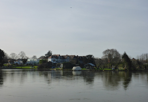
Walk Britwell - Holyport via Boveney 17Feb2026
Difficulty: Easy Type: One Way Length: 8.8 miles Ascent: 0 ft Descent: 62 ft Maximum: 145 ft Minimum: 63 ft Start: Start Finish: Finish Rest: None GPX: Download Route
Details let info=document.getElementById("info");let url_gpx=window.location.origin+"/action.php?id="+info.dataset.gpx+"&part=e&download";document.getElementById(`gpx`).href=url_gpx;